Find out at www.sonnendach.ch.
The overview at www.recharge-my-car.ch.
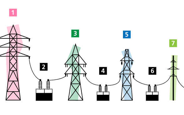
Where are the power lines in Switzerland? A new map shows a spatial overview of the Swiss electricity network (> 36kV). Go to map
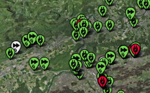
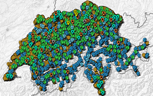
A new interactive map shows where electricity is produced using water, wind or sun. Over 100,000 plants can be found on the geodata map.
To the map
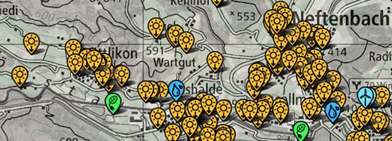
Official geodata, storymaps and thematic geodata in the map viewer
“Storymaps” are web-based interactive maps.
The SFOE’s data can be queried via an API.
Energeia plus, Kategorie Geoinformation
Press releases in German