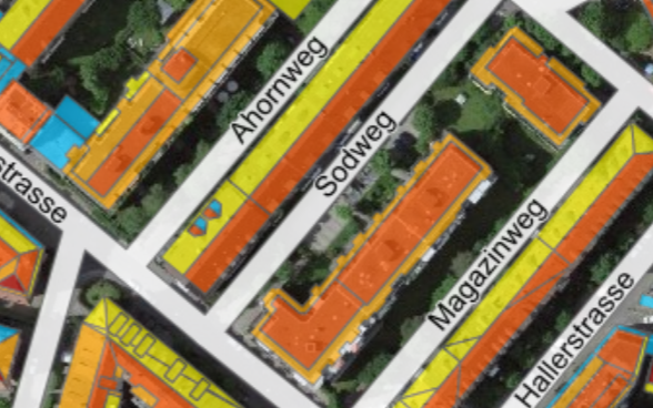
How much electricity or heat can my roof produce?

Slider Sonnendach

How much electricity or heat can my roof produce?

Find out at www.sonnendach.ch.

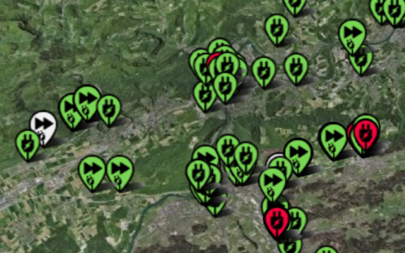
The availability of charging stations for electric cars in real time.

Slider Ich-tanke-Strom

The availability of charging stations for electric cars in real time.

The overview at www.recharge-my-car.ch.

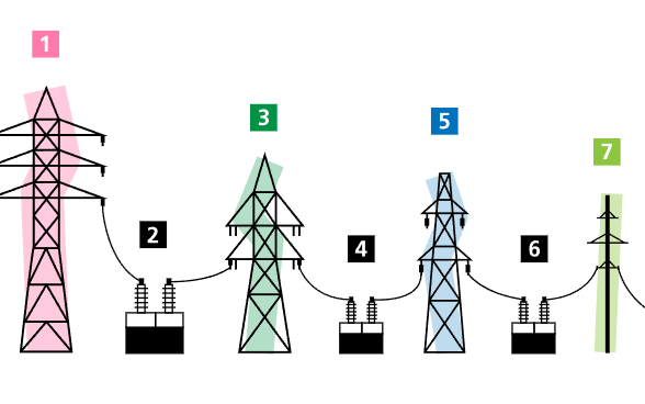
The Swiss electricity network

Slider Stromnetz

The Swiss electricity network

Where are the power lines in Switzerland? A new map shows a spatial overview of the Swiss electricity network (> 36kV). Go to map

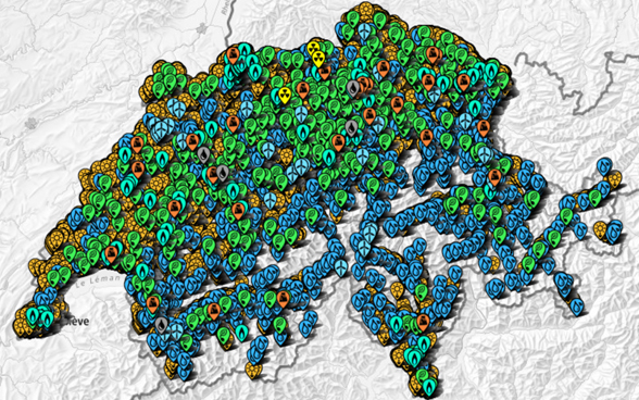
Where is electricity produced in Switzerland?

Slider - Elektrizitaetsproduktionsanlagen

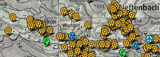
Where is electricity produced in Switzerland?

A new interactive map shows where electricity is produced using water, wind or sun. Over 100,000 plants can be found on the geodata map.

To the map

Geodata and geoinformation are an important part of digitization in the energy sector. Geodata is data with a spatial and temporal reference that describes the extent and characteristics of certain objects, such as their location, nature, use or legal relationship. Examples include coordinates, place names or postal addresses. Geodata refers to digital and analog data (e.g. conventional maps and plans, gazetteers, etc.).

Geoinformation is spatial information that is obtained by linking geodata. Geoinformation can be obtained from geodata by applying rules and instructions. By linking geodata, relationships, assignments and dependencies can be identified from a specific question. Geoinformation is thus becoming increasingly important in politics, business and society. Accordingly, the Swiss Federal Office of Energy (SFOE) collects, maintains and visualizes important geodata and geoinformation in the energy sector.

Topics

Geodaten - Teaser - Bild 1

Geodata

Official geodata, storymaps and thematic geodata in the map viewer

Storymaps - Teaser - Bild 1

Storymaps

“Storymaps” are web-based interactive maps.

Programmierschnittstelle - Bild 1

Programming interfaces

The SFOE’s data can be queried via an API.

https://www.bfe.admin.ch/content/bfe/en/home/supply/digitalization-and-geoinformation/geoinformation.html